Aarhus University Seal

BatPER

BatPER: Bat Pesticide Exposure Risk in agricultural settings

Pesticides and spray operation practices may pose a significant threat to bats, which are not covered in current risk assessment procedures.


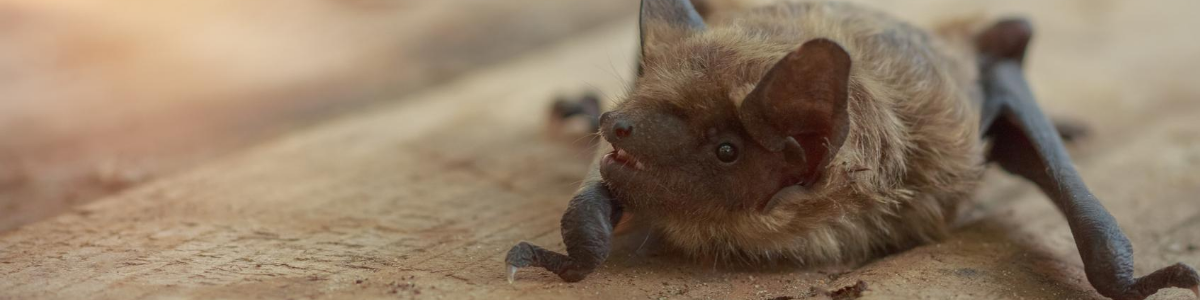
Some crops are sprayed with pesticides at dusk or in the early hours of the night to reduce the risk of destroying populations of pollinators. Bats may experience a significant dermal and inhalation exposure if they forage near or fly directly through the pesticide spray cloud. These exposure routes for bats are not covered in the current pesticide risk assessment procedures.

The conservation status of all bat species is very susceptible to increased mortality rates due to their long life spans and low reproductive rate. Furthermore, bats use resources that are widely dispersed and may commute many kilometres to forage. Some bat species might be attracted to spraying operations. These behaviours contribute significantly to the exposure risk.

Objectives and methods

The pesticide exposure risk for bats in agricultural landscapes is modelled by:

  1. Quantify spatial and temporal bat activity in agricultural landscapes during the summer months. The activity of bats will be surveyed with passive ultrasound detectors in study areas with different crop types and landscape structures. The detectors will be deployed in hedgerows, forest edges, field margins and orchards.
  2. Examine foraging behaviour of bats in the early summer during pesticide application. The intensive pesticide application in the early summer season coincides with the time when the young bats are born and lactate. Using passive detectors and direct observations, we will try to record flight patterns around spraying machinery during pesticide application.
  3. Model agricultural landscape habitat use by bats and pesticide exposure risk for bats. Based on the field results of bat activity, the explicit probability of bat occurrence in time and space in agricultural landscapes will be integrated with landscape structures and spatial and temporal pesticide application to model exposure risk maps for bats.

SESS will be involved in the last objective, modelling the bats risk for pesticide exposure. A bat activity map will be generated for a representative sample of Danish landscapes, the methodology will utilize ALMaSS landscape generation methods, which are capable of generating landscape models for any part     

Contact

Morten Elmeros

Senior Advisor Department of Ecoscience - Wildlife Ecology

Project duration

2020-2023

Funding

Danish Environmental Protection Agency

(Bekæmpelsesmiddelforskningsprogram)