Scotland
Eastern Scotland Case Study
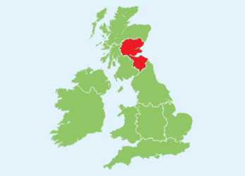
Eastern Scotland represents around 23% of the total area of Scotland and contains a population of around 2 million inhabitants.
The study area is located in the Atlantic North biographical region and the soils are Lacustrine clays inland to highly sandy soils at the coast. The total size of the study area is 1,755,357 ha of which 735,740 ha is utilised agricultural area. Around 68% of the area is in a Less Favoured Area (LFA).
Key agricultural facts
Zealand Denmark | Eastern Scotland | Mazovia Poland | Közép Mag. Hungary | Toscany Italy | Jaén Spain | |
| Total number of farm holdings | 7.850 | 6.610 | 302.290 | 62.080 | 78.900 | 254.293 |
| Average farm size [ha] | 61 | 196 | 7 | 5 | 10 | 18 |
| Farm holdings < 5 ha [%] | 4 | 15 | 55 | 94 | 62 | 60 |
| Farm holdings > 50 ha[%] | 32 | 60 | 1 | 1 | 3 | 6 |
| Owner occupied[%] | 72 | 65 | 89 | 36 | 75 | 79 |
Source: Eurostat data, 2010
The average farm size in Eastern Scotland is 196 ha, which is considerably greater than the European Union average of 15 ha. There are very few small holdings of less than 5 ha (15%) and a large proportion of holdings are over 50 ha (60%). Around 31% of the agricultural area is arable land, whilst the majority is permanent grassland (69%). The dominant cropping system is large-scale cereal
and potato/arable, with some mixed farming (dairy, beef pigs), including rotational grassland. Typical cereal yields are amongst the highest in Europe, frequently exceeding 10 t DM ha-1 yr. Around 65% of the farmed land is owner occupied which is slightly below the EU average of around 70%.