The GEOSPACE project is a collaboration between three entities: Departments of Geoscience and Engineering of Aarhus University, and Danish CubeSat manufacturing company GomSpace ApS. The project aims to create an interdisciplinary collaboration among these entities and therefore define Aarhus University as a well established key-player in space-based research. This highly technological utilisation of low-Earth orbit, is a new and fast developing sector that Aarhus University intends to partake in by developing satellite-based research projects.
The project includes of several workshops with participation from employees of the Department of Geoscience, Department of Engineering and GomSpace. These workshops aim to facilitate focused studies on the possibilities of collaboration in areas such as:
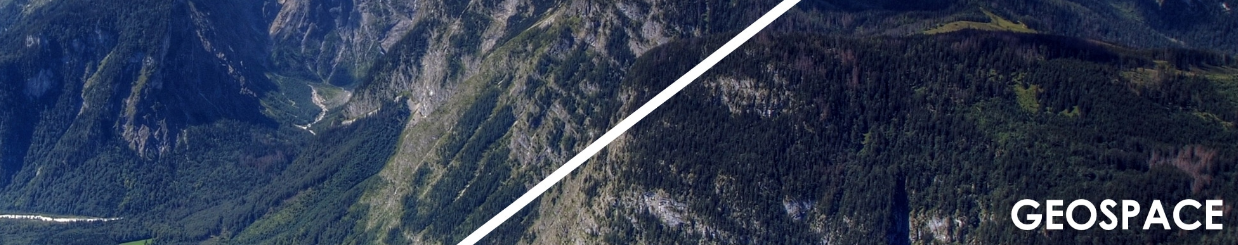
Geological processes are traditionally studied by searching for minerals and ore. In such studies, geospatial data on a local or regional scale are commonly used. These data are obtained by geophysical and geological methods such as seismic sampling and on-site drilling. Recently, drones and aircraft based laser systems (LiDAR) are used to study the morphological surface features. We strive to add space-based geospatial data as a possible tool to study geological processes. We especially aim to examine how to best obtain observations on different spatial-scales (mineral and ore investigations; drone observations, aircraft observations and space observations) to combine them for the best possible outcome.
To maximize the outcomes from geospatial data, we will use state-of-the-art methods that are widely used in geosciences, such as machine learning, neural networks, advanced visualization, and Bayesian analysis.
A possible fleet of several hundreds of nano-satellites orbiting the Earth will require new ways to manage intelligent data-processing. It will no longer be possible to study the individual housekeeping data from each satellite separately. This goes for both on-board satellite data and on-ground data. Through this project we will examine how a collaboration between scientists and engineers can create an improved intelligent data-processing method.
Each workshop will end with a conclusive report on the possible interdisciplinary study and collaboration opportunities among the three entities concerning the use and improvement of geospatial data.
A case study will be completed in which the usability of geospatial observations in geosciences will be demonstrated.
We will also develop ideas to apply for vital funding at organisations such as Innovationsfonden and Horizon 2020 in order to create projects with the Department of Geoscience, Department of Engineering, GomSpace and other relevant partners for the advancement of utilizing and improving geospatial data.
Utilizing CubeSats are increasingly becoming a preferred method for companies and nations to conduct their own space based research. The field is under major development these years, and open for new and exciting research and development. Moreover the industrial and financial interest is expected to increase for the coming decades. GEOSPACE aims to be a key participant in developing and utilizing geospatial data in order to demonstrate its enormous potential.
