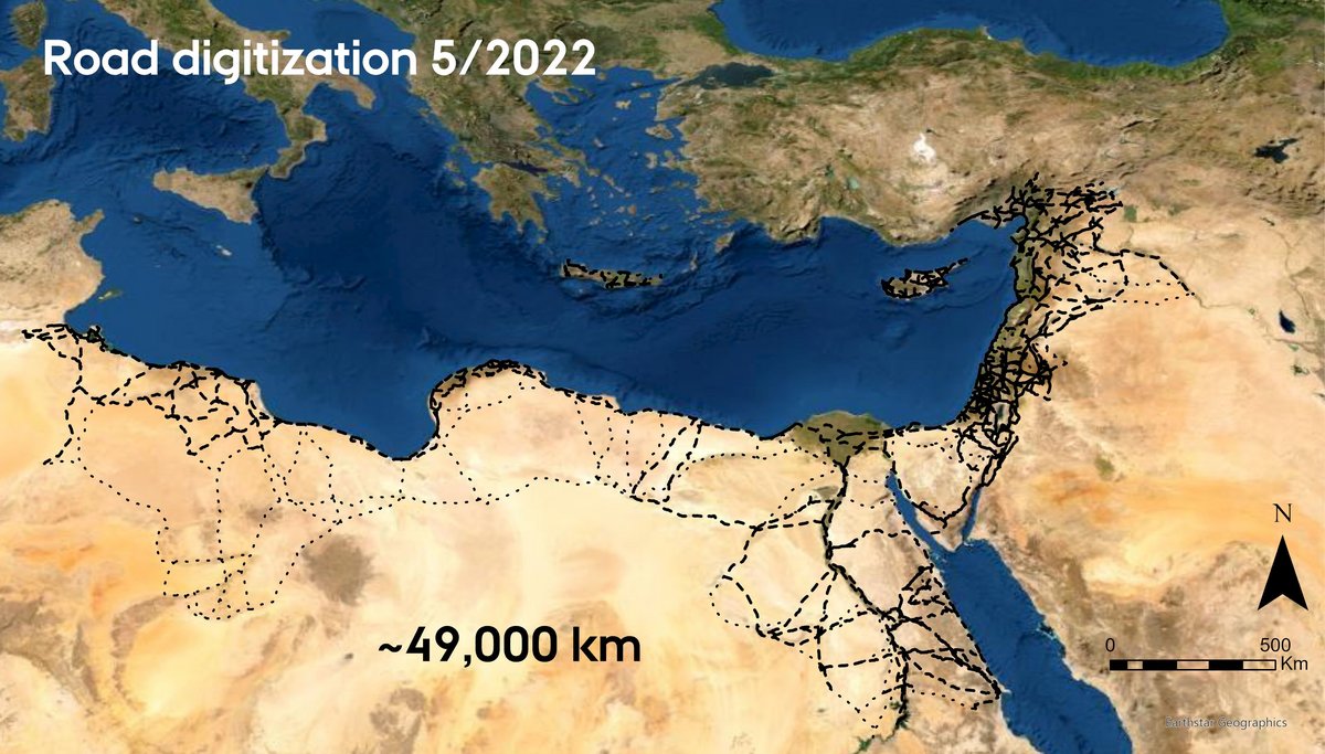
Existing digital models of the entire Roman Imperial transport system exist at a coarse level of detail that is not representative of our current knowledge of Roman roads or of its geographical structuring. We aim to draw on all available historical and archaeological data to develop a highly detailed and spatially accurate model of the Roman road system across the entire Empire. We digitize exact position of each road segment drawing on large variety of available evidence, which include:
We closely collaborate with several researchers and research groups across Europe and the Middle East to incorporate the most up-to-date available data for areas where our colleagues are activel engaged with research on Roman roads (e.g., Desert Networks Project and Viator-e).
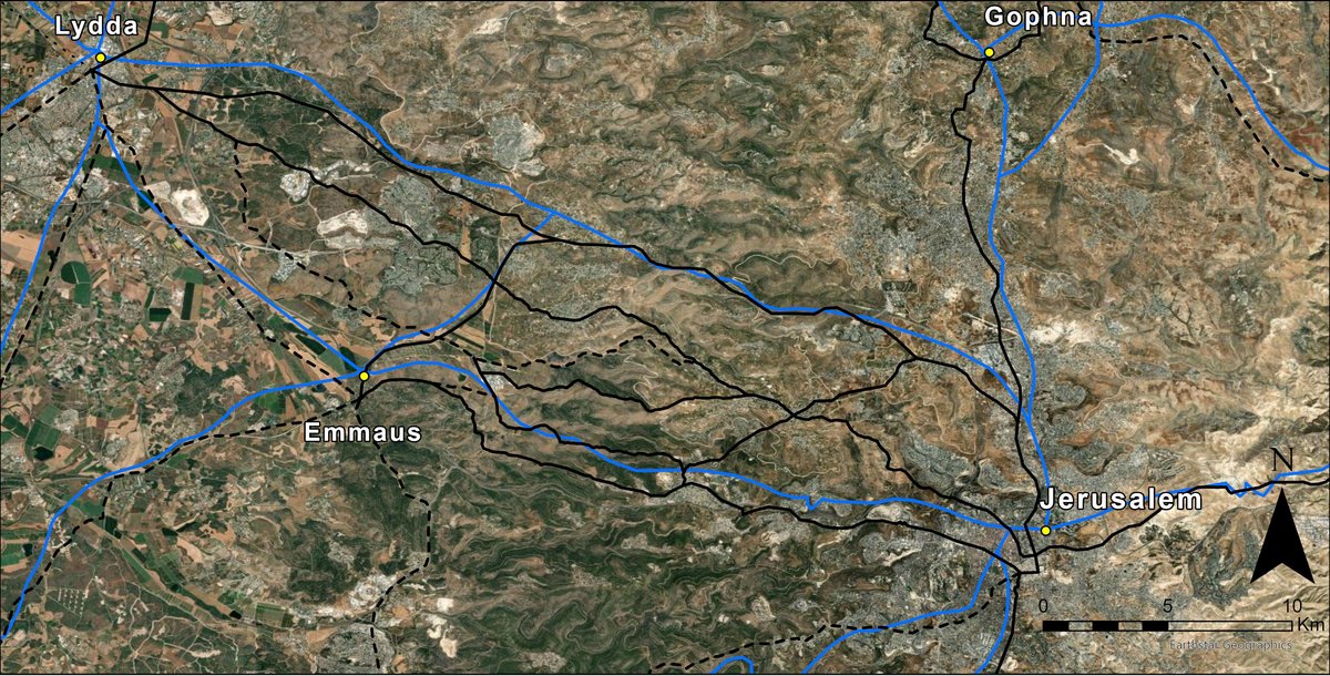
Main advantage of our dataset is increased spatial accuracy of the road network, which can be used for informed detailed hypothesis testing involving transport costs and commercial relations. Furthermore, the dataset will be more representative of the Roman road system as a whole, since our focus is not only on the main roads, but also on the secondary and local roads, which are often omitted from historical-archaeological studies (Fig. 1).
The resulting dataset will be made openly available in a linked open data format on the online gazetteer Itiner-e: The gazetteer of ancient roads.

