Khirbet al-Khalde Project: Fieldwork 2023
News from the desert: UrbNet fieldwork in Jordan.

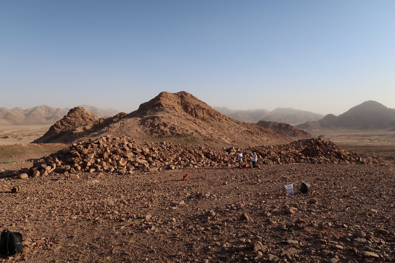
On 13 July 2023, several UrbNetters initiated their participation in the new Khirbet al-Khalde Archaeological Project in southern Jordan. The collaborative international project is jointly directed by Rubina Raja, UrbNet (Denmark), Craig Harvey, University of Alberta (Canada), and Emanuele E. Intagliata, University of Milan (Italy). This year’s team is small and consists of 9 members undertaking a survey of the site and its surroundings, registration and processing of all collected surface finds.
30 km north of Aqaba, the team is surveying an approximately 5 km2 large area in and around the fort Khirbet al-Khalde in the Wadi Yitm. The aim of this year’s campaign is to gain a better understanding of the fort’s chronological span – often said to have been in use between the Nabataean and the Late Byzantine period. However, this has never been assessed in any detail. The fort is located along the ancient Via Nova Traiana and was integrated into the vast transportation network of the region ad beyond, holding deep implications for better understanding the economy and security issues of the region and beyond – including aspects of Red Sea trade and the Roman annexation of the Nabatean Kingdom. Surveying and further studying Khirbet al-Khalde will fill an important gap in the research on the Petra-Gaza route and long-distance trade in the ancient world.
So far, a large amount of pottery sherds has been collected – mostly stemming from the first three centuries CE, but also including finds from later dates – which expands our knowledge of the site’s chronology. Other finds include glass sherds, shells, bones and plaster fragments. Further studies of all this material allow us to gather information on imports and trade networks from and to the site as well as to clarify in more detail the chronology of the site.
The team is also mapping the fort and a second structure that is located right next to it and has been labelled a caravanserai in the past. Other structures, including two watchtowers, will also be mapped as will the water infrastructure at the site, to gain a complete overview of the site’s structures, which will allow for research on questions regarding economy, trade networks, resilience, continuity and change in this part of the ancient world – all aspects that pertains directly to UrbNet’s research agenda.


