One of the purposes of DISCO-2 is to be able to contribute to the study of climate change. Therefore, researchers from both the Arctic Research Center (ARC) and the Interdisciplinary Center for Climate Change (iClimate) at Aarhus University have been involved and have helped point out the possibilities and their need for satellite measurements.
Studies of isolated land and water (eco) systems have long been carried out by measurements with different types of instruments on land or with buoys with measuring equipment on the water or even small remote-controlled submarines. On very dedicated expeditions, measurements can also be made from ships, drones, weather balloons and aircraft. The Greenland Integrated Observing System (GIOS) has created a large terrestrial network of measuring stations spread over specially selected locations in Greenland. These contribute with "ground-truth" (well-calibrated, accurate and precise) measurements which provide insight into conditions exactly where these stations are set up. See and read more at: gios.org
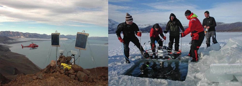
Left: A land station with, including solar cells and cameras. Right: an underwater station ready for immersion. Credit: GIOS
By using satellite data where one can cover larger areas, in combination with ground-truth data, the study of the impact of climate change on environments in Greenland can be scaled up and help to expand our understanding of the effect of climate change.
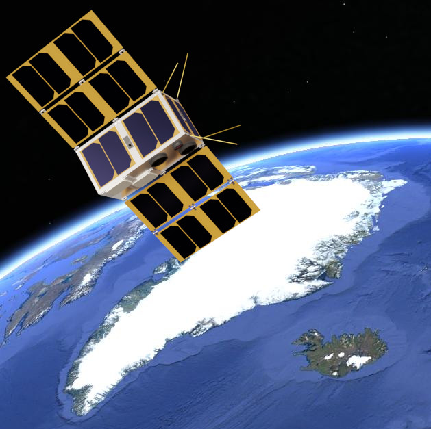
Illustration of DISCO-2 in its orbit on its way across Greenland.
