Excursion
Thursday 30 June we will visit Hestehaven Forest and and Store Lyngdal Plantage. Both sites are located in Jutland.
Below you can find some information and pictures from the two sites.
Hestehaven Forest
Djursland – Geological setting
From: Geological map of Djursland, 1995, DGU
In the northern part of Djursland, the top surface of the limestone is situated between 0 and -10m below sea level. The limestone is dissected by fossil valleys, about 40m deep, which are buried in Quarternary deposits., The limestone surface dips slightly towards the southwest and is overlain in the southern part of Djursland by Paleocene and Eocene marls and clays. These Tertiary deposits crop out at the large landslide near Rugård, at Jernhatten, around Ommestrup, and in smaller areas of western Mols. Eocene clays with interbedded volcanic ash layers are found along the west coast of Helgenæs.
The oldest Quaternary deposits of Djursland consist of a series of clayey and sandy tills intercalated with meltwater sand of Saalian age. These deposits occur in dislocated rafts at Gjerrild Klint. Marine interglacial deposits of Holsteinian age are found at Rugård.
The dominant geological elements of the landscape were formed during the Weichselian. In the northern part of Djursland, glaciomarine deposits of Early to Middle Weichselien age occur. About 70.000 years ago, a glacial advance with erratics of Baltic provenance transgressed the Djursland region. However, the main glaciation of the region occurred in the late Weichselian, initiated by the advance from NE which reached the Main Stationary Line in central Jutland, This ice advance formed the landscape in northern Djursland first by thre deposition of more than 20m of proglacial meltwater deposits covered by a 5m thick till. Composite ridges were formed in the Feld Skov area, indication an ice movement from NE to SW. During the regression of the NE-ice, the drumlin field at Allelev was formed. The till draping the drumlins contains a high proportion of limestone derived from the Danian limestone outcrops north of Grenå.
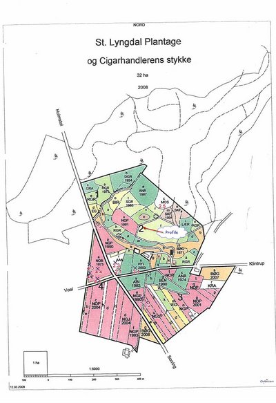
St Lyngdal Plantage
The landscape in this area is to a very large degree formed by Quaternary glaciations. The area was covered by glaciers advanced from the north east. The ice had the largest extent during the Weichelian glaciation approximately 18000 BP advancing to the main stationary line 25km to the west of St. Lyngdal.
The glacial landscapes are a complex of irregular hills and mounds formed in contact with the glacier, ridges formed during the advanced of the ice and valleys formed by the meltwater below or in front of the glacier. Kettle holes are also common in the landscape. These are formed by blocks of melting ice left behind by the retreating ice.
The ridge on which the small plantation of St. Lyngdal are situated is a recessional push moraines formed by the glaciers during a relative short stationary period of the regression of the ice approximately 15000 BP.
The soil profile is situated on the slope of a “spring valley” formed by water erosion coming from a spring in the foot slope of a valley (at the “start point” at figure 1). This spring creates this unique morphology of a spring valley by eroding back into the hills.