7th Global Digital Soil Mapping Workshop 2016
7th Global Workshop on Digital Soil Mapping
Digital soil maps for everyone
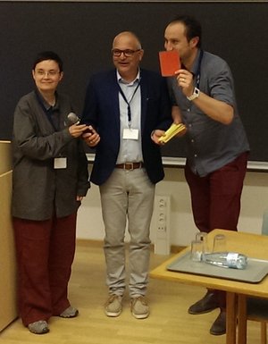
Group picture
Digital Soil Mapping (DSM)
Digital Soil Mapping (DSM) is the creation and the population of a geographically referenced soil database generated at a given resolution by using field and laboratory observation methods coupled with environmental data through quantitative relationships. The key issues of digital soil mapping include the adoption of new mapping tools and techniques, data management systems, innovative delivery of soil data, and methods to analyze, integrate, and visualize soil and environmental datasets.
Time and Venue
Aarhus University is organizing the 7th Global Workshop on Digital Soil Mapping 2016.
The workshop takes place in the period 27 June - 1 July 2016 in Aarhus, Denmark.
Welcome reception 27 June in Møntmestergården Den Gamle By. How to find Møntmestergården.
See also program for the workshop.
Conference topics
Key themes for the meeting include:
- Data collection, acquiring new input information and auxiliary data (especially remote sensing, proximal soil sensing, digital terrain model data etc.); data combination
- Soil and environmental sampling optimization for DSM purposes
- Scorpan model functions (classification and regression trees, random forests, artificial neural networks, etc.)
- Introducing new methods and models and modification of the older ones
- Exploitation and processing of legacy data
- Mapping scale issues, upscaling and downscaling, maps disaggregation; harmonization of maps of different origin
- Map uncertainty assessment
- Visualization of the DSM products
- Applications of DSM (e.g. soil organic carbon mapping, soil degradation maps)
- GlobalSoilMap.net project
New chair

SOIL PhD courses
Interested in participating in exciting PhD courses at Department of Agroecology?
Soil Sensors - Theory and Application - August 2017